Conferences & Events

- This event has passed.
Smart maps, stronger conservation: Targeting land protection with GIS – October 25
October 21, 2025 @ 1:00 pm - 2:00 pm
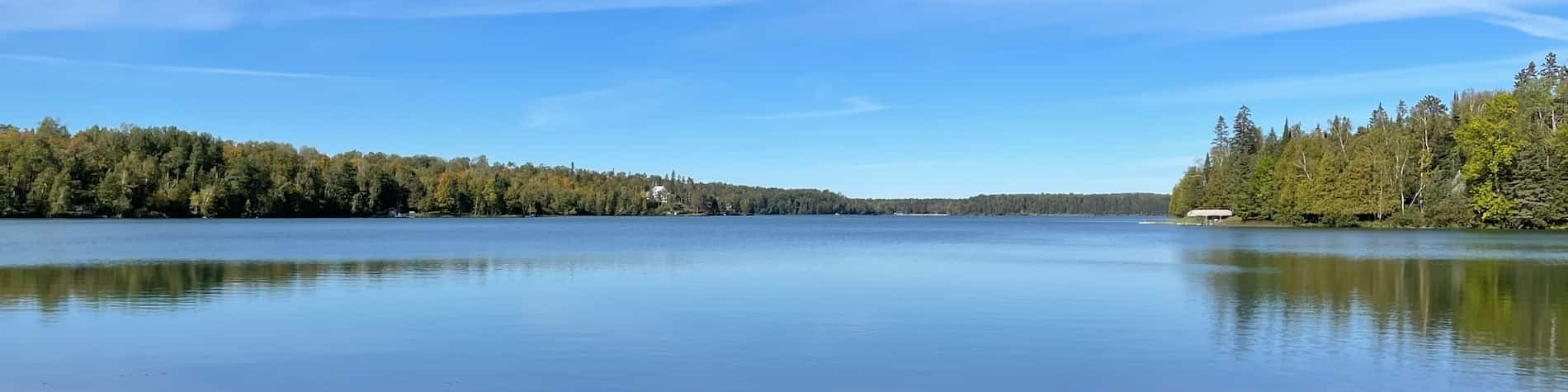
The Northern Waters Land Trust will be presenting on their project, which developed an interactive GIS mapping tool to identify and prioritize land protection projects within the watersheds of Lakes of Outstanding Biological Significance (LOBS). Each parcel within these sensitive watersheds was systematically scored to determine conservation priority.
This webinar is part of the Midwest Glacial Lakes Partnership Lake Conservation webinar series. Paul Radomski, Mitch Brinks, Annie Knight and Ally Mazurek will be presenting.
This webinar is on October 21, 2025, at 1 pm CT. It is available at no cost. Registration is required.